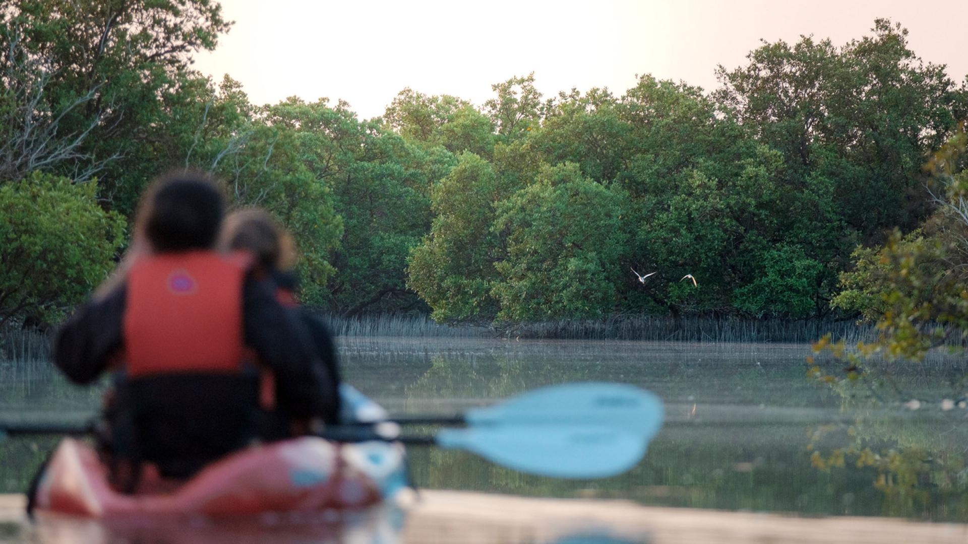
Protecting coastal and marine habitats
Habitat maps are an important tool in understanding our coastal and marine ecosystems.
Using an innovative mapping approach, we created the first coastal and marine habitat map for the Northern Emirates in collaboration with the Ministry of Climate Change and Environment (MoCCaE), Environment and Protected Areas Authority Sharjah (EPAA) and other valued partners.
The map covers a total area of 783 km2, includes 400 km of coastline and identifies 15 habitat types including coral reefs, mangroves, saltmarshes, coastal salt flats (sabkhas), oyster beds, hard bottom, halophyte and seagrass meadows.
Endorsed by MoCCaE, the map is a valuable tool that assists authorities in identifying Areas of Particular Importance to Marine Biodiversity (APIMB) that require official protection, thus contributing to the
sustainable management of our seas.
